Sample Page
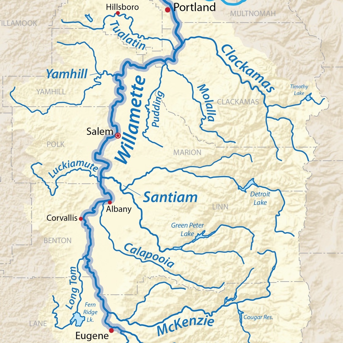
We have developed an interactive asset map for resources, hubs, projects, education opportunities, and more within the scope of the South Willamette Valley.There are many resources from the Directory page that could not be added to the map because they are not established in a single primary location. Here you can engage with and see where different organizations are located in your neighborhoods that could help build a more regenerative Willamette Valley. The South Willamette Valley Watersheds are also included as a way to see how the shape of the landscape interacts with human systems and development.
Inclusion on this list is not an endorsement. All groups and links are already publicly accessible.
Interactive South Willamette Valley Map:
COMING SOON!
- Watersheds were mapped using a combination of publicly accessible data and following the natural ridge lines on the topographic map.
- Not all of the organizations and groups from the directory are on the map! Not every group has a single specified location within the South Willamette Valley.
- If there is an organization or resource you think should be on this map, please reach out and let us know!